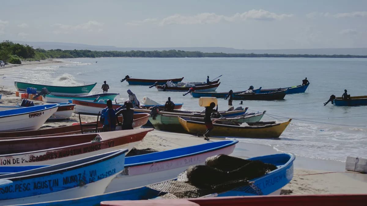
Pedernales
Pedernales is the Dominican Republic's remote southwestern tip, bordering Haiti, where dry forest, salt lagoons and the eight-kilometer Bahia de las Aguilas sit almost untouched inside Jaragua National Park.
Pedernales
Pedernales is the Dominican Republic's remote southwestern tip, bordering Haiti, where dry forest, salt lagoons and the eight-kilometer Bahia de las Aguilas sit almost untouched inside Jaragua National Park.
Pedernales is the province at the far southwestern corner of the Dominican Republic, on the Haitian border, a dry, cactus-studded peninsula unlike anywhere else on the island. The provincial capital, also called Pedernales, is a small working border town with a crossing to Anse-a-Pitres, Haiti. It is the least developed corner of the country, and most visitors come for one reason: a coastline that stayed empty while the rest of the DR built up its shores.
That reason has a name: Bahia de las Aguilas, an eight-kilometer arc of white sand inside Jaragua National Park, reached mostly by a fifteen-to-twenty-minute boat ride from the fishing settlement of La Cueva, since no paved road runs its length. Jaragua covers 1,374 square kilometers of which most is marine, and its dry forest shelters the Hispaniolan solenodon and hutia, two mammals found almost nowhere else, alongside well over a hundred recorded bird species. Inland, Laguna de Oviedo, a saltwater lagoon threaded with mangrove cays, draws flamingos and wading birds, best seen by boat at dawn.
North of the beach, Cabo Rojo takes its name from rust-red soil exposed by decades of bauxite mining, a working port that once shipped ore for Alcoa, set among limestone cliffs and coral reef. Behind both coasts, the Sierra de Bahoruco rises into cloud forest, part of the Jaragua-Bahoruco-Enriquillo Biosphere Reserve that UNESCO recognized in 2002 and later joined with Haiti's La Selle into a single transboundary reserve along the border.
Pedernales is remote by circumstance as much as design. The town sits about 330 kilometers from Santo Domingo, a drive of four and a half to five hours, and roughly two hours beyond Barahona, the nearest mid-sized city. That is changing: a new international airport near Cabo Rojo, part of the government-backed ProPedernales plan, is under construction with a runway built for wide-body jets, targeted to begin operations in February 2027. Access roads built for the project have already cut the drive from town to Bahia de las Aguilas and Cabo Rojo to well under an hour.
This remains a place for travelers trading convenience for solitude. Bring cash, fuel up before heading out, and pair a day at Bahia de las Aguilas with a morning on Laguna de Oviedo or a stop at Cabo Rojo's cliffs. Among the country's destinations, Pedernales sits apart from the all-inclusive coast, closer to Dominican wilderness than resort life, and belongs on any nature-focused itinerary.
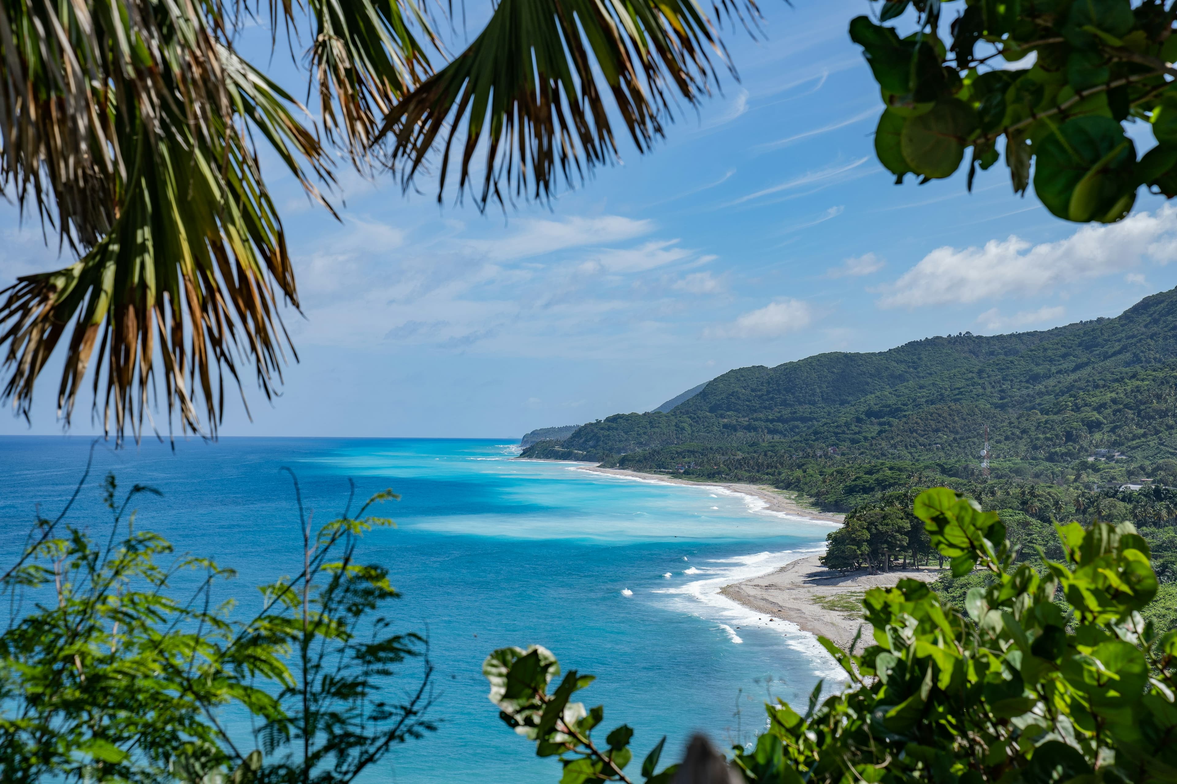
Pedernales is the last frontier of Dominican tourism — a remote, starkly beautiful province on the southwestern tip of the island where the Sierra de Bahoruco descends to meet Haiti and the Caribbean Sea. This is where you'll find Bahía de las Águilas, consistently voted the most beautiful beach in the Dominican Republic and arguably the entire Caribbean.
The province is a biodiversity hotspot: the Jaragua National Park protects desert coastline, offshore cays, and nesting sites for endangered sea turtles and flamingos. The Sierra de Bahoruco cloud forest harbors endemic birds found nowhere else on Earth.
Getting here requires effort, but the reward is experiencing the DR at its most wild, unspoiled, and spectacular. Pedernales is for travelers who measure their trips in experiences, not amenities.
Weather by month
Warm all year. Each bar's height is that month's average daily high, so the chart rises toward the warm summer; teal marks the drier months with the most reliable beach weather. Temperatures show in °F by default; switch to °C with the toggle.
Best time to visit: Jan, Feb, Mar, Apr, Jul, Nov, Dec. These months bring the most sun and the fewest rainy days; May, Jun, Aug, Sep, Oct are the wettest.
Sample itineraries
Practical information
Photo gallery
Beaches here
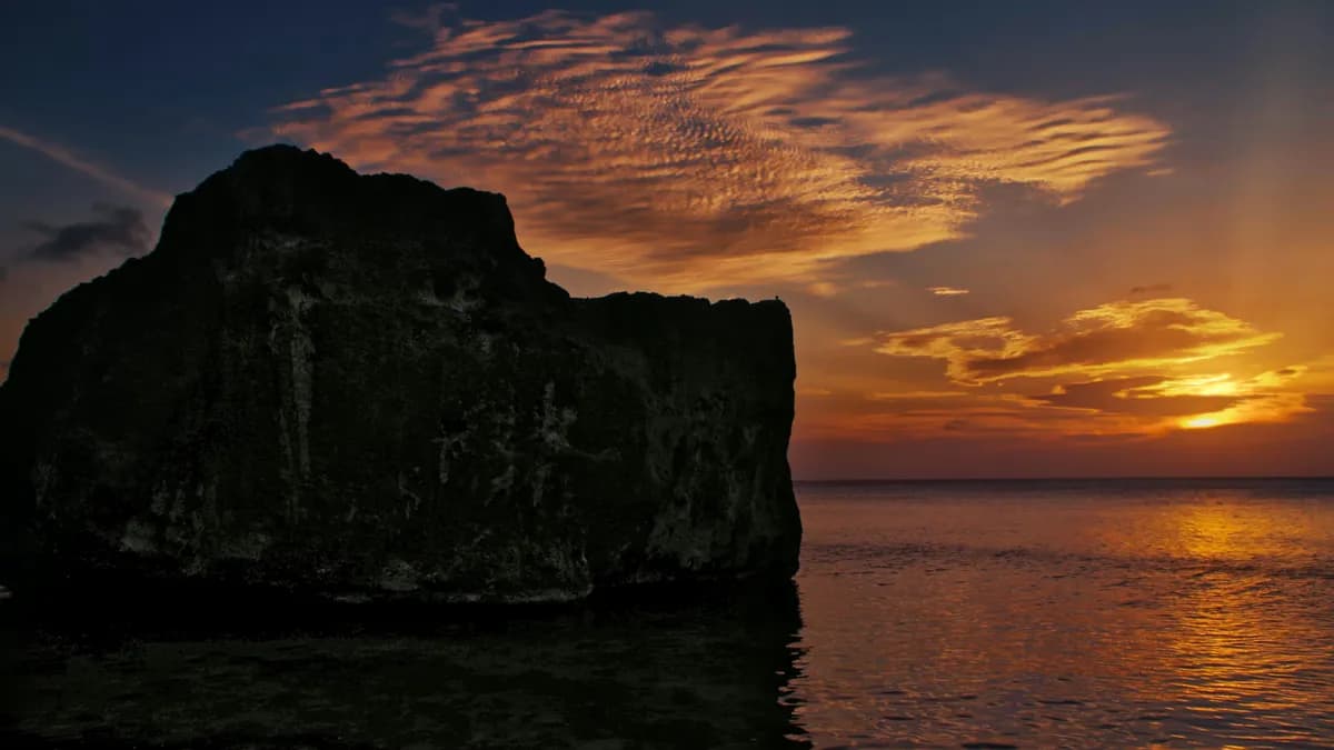
Bahía de las Águilas
Widely regarded as the most beautiful beach in the Dominican Republic, Bahía de las Águilas stretches 8 kilometers of pristine, completely undeveloped white sand along the Jaragua National Park coastline. Accessible by all-terrain vehicle or by boat from Cabo Rojo, this remote paradise rewards travelers with turquoise water of staggering clarity and a sense of total isolation.
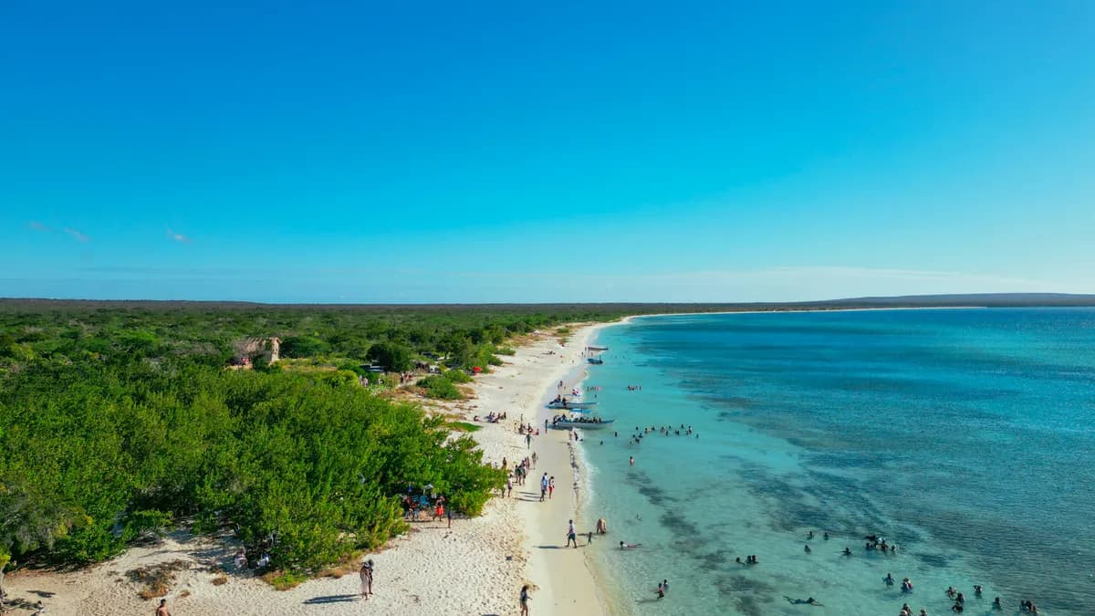
Cabo Rojo Beach
Cabo Rojo Beach is the scenic departure point for Bahía de las Águilas, but it is a destination in its own right. Its white sand, dramatic coastal bluffs, and panoramic views of the Jaragua National Park coastline make it a striking spot for photography and exploration.
Pedernales questions
Is Bahía de las Águilas really the best beach?
+
Consistently rated the most beautiful beach in the Dominican Republic by every publication that covers it. 8km of pristine white sand, crystal-clear water, and absolutely zero development. It requires effort to reach — and that's what keeps it perfect.
How long does it take to reach Pedernales?
+
About 5-6 hours from Santo Domingo, or 2-2.5 hours from Barahona. The drive is long but the final stretch along the coast is one of the most scenic in the Caribbean. Plan to stay overnight rather than attempt a day trip from the capital.
What is Hoyo de Pelempito?
+
A dramatic geological depression (sinkhole valley) in the Sierra de Bahoruco mountains. The viewpoint offers breathtaking panoramic views across a unique microclimate valley. It's one of the most spectacular geological formations in the Caribbean.
What should I bring to Bahía de las Águilas?
+
Everything. Bring your own supplies unless your booked excursion includes shade, seating, water or drinks. Bring at least 2 liters of water per person, food, sunscreen, a shade structure or umbrella, and a hat. Pack out all trash.
Is birdwatching good in Pedernales?
+
World-class. The Sierra de Bahoruco provides habitat for 28 of Hispaniola's 31 endemic bird species, found nowhere else on Earth. Birdwatchers travel from around the world to spot the Hispaniolan crossbill, palmchat, and other Hispaniola endemics.
Keep exploring
Nearby Destinations
Explore more places near Pedernales